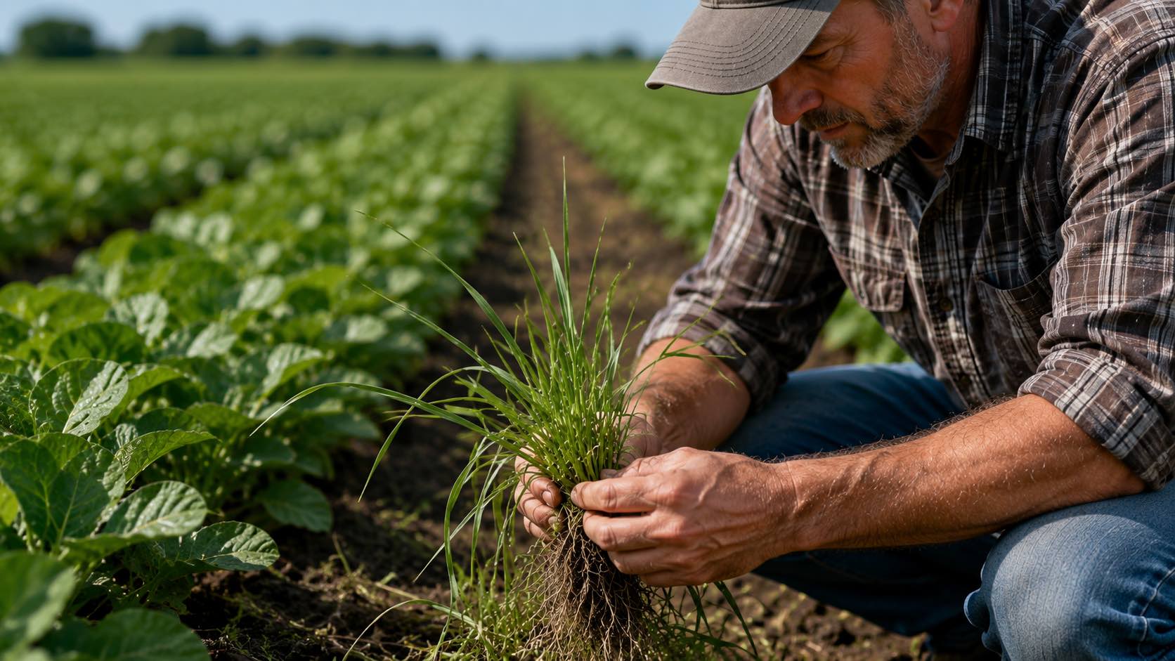
How do different Graminicides work?
Managing a landscape or a commercial crop requires a keen understanding of the tools available to combat invasive…
Read More
Managing a landscape or a commercial crop requires a keen understanding of the tools available to combat invasive…
Read More
Tractor Hedge Trimmer: Matching the Machine to Your Tractor and Your Land For farms, estates and rural councils,…
Read More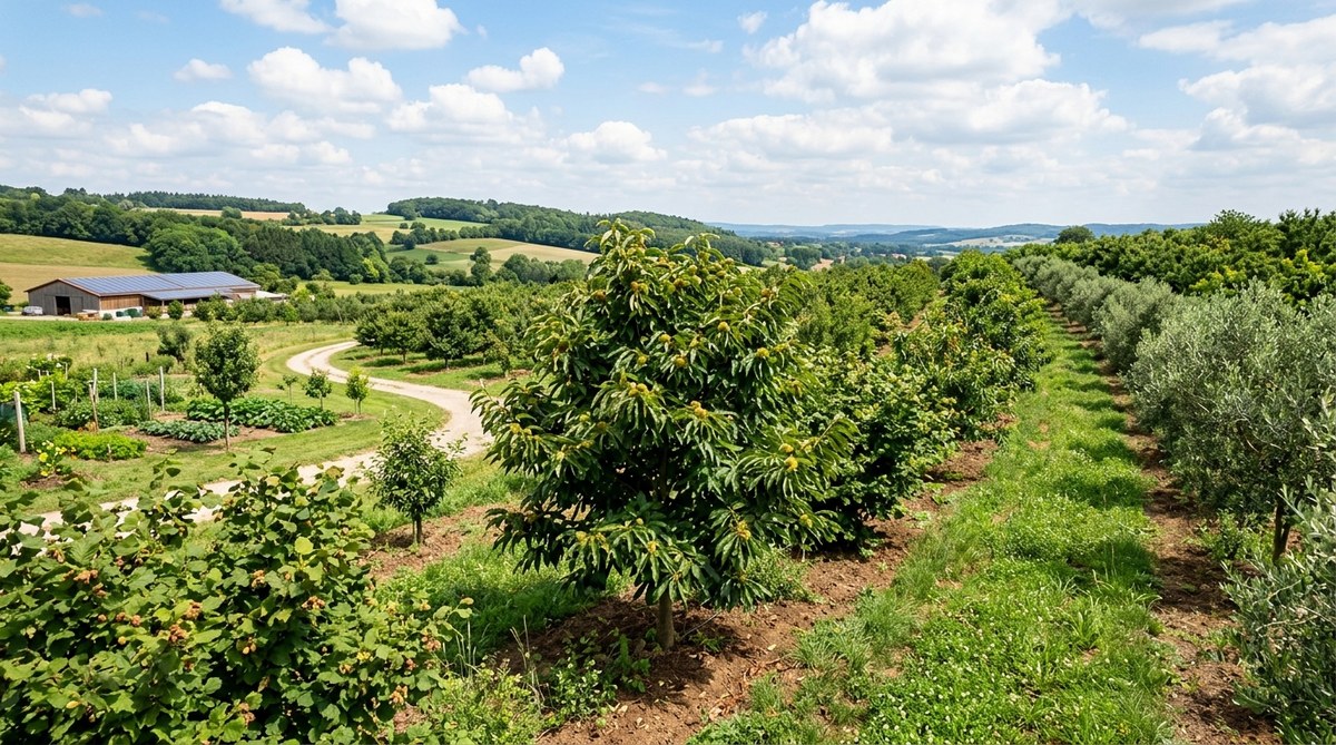
Tree Crops That Support Climate Resilience | TreeCrops.org In a world of shifting weather patterns and tightening resource…
Read More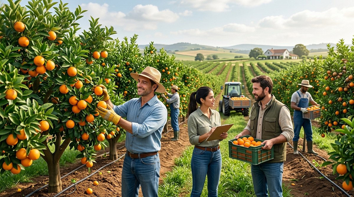
How Cooperative Farming Improves Yields | TreeCrops.org In farming circles, cooperation is more than a nice idea. It…
Read More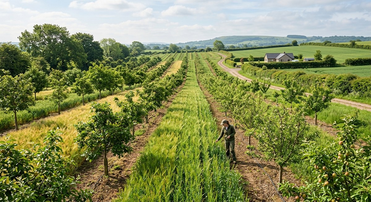
Benefits of Agroforestry for Sustainable Farming | TreeCrops.org Imagine a farm where shade from carefully placed trees cools…
Read More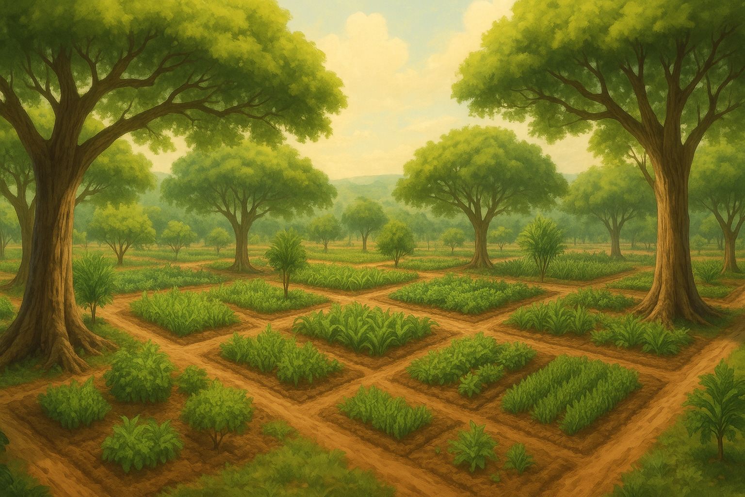
Dry landscapes often battle against water scarcity, making agriculture challenging and unpredictable. Tree crops offer a natural solution…
Read More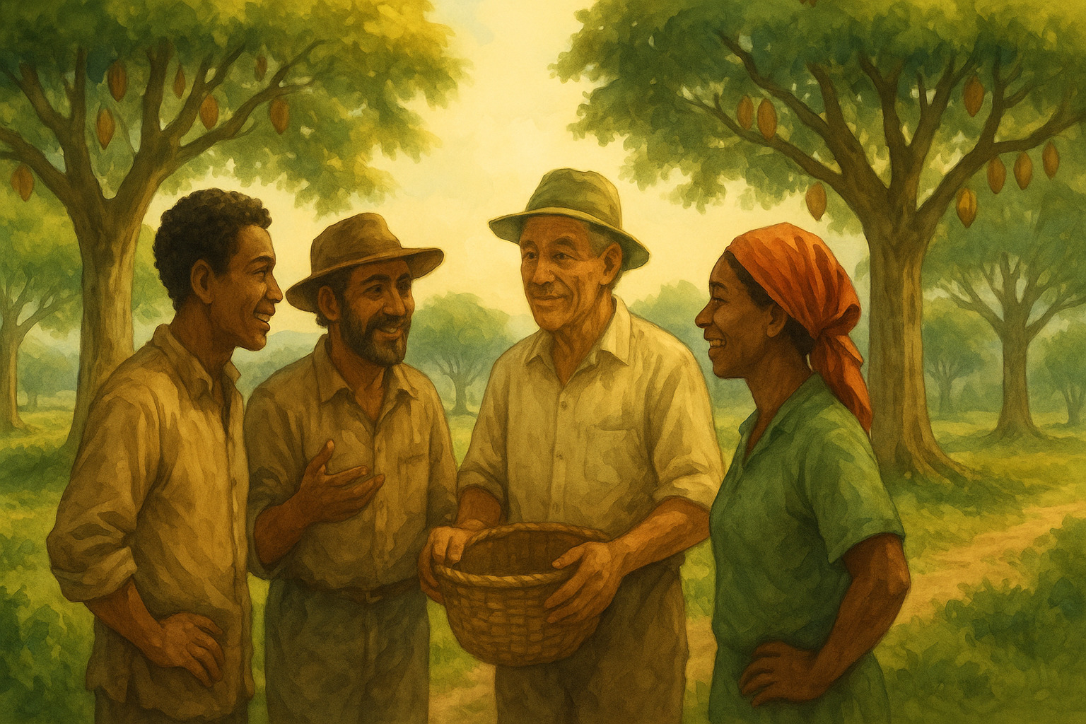
Why should tree crop farmers work together rather than operate in isolation? The short answer is that cooperation…
Read More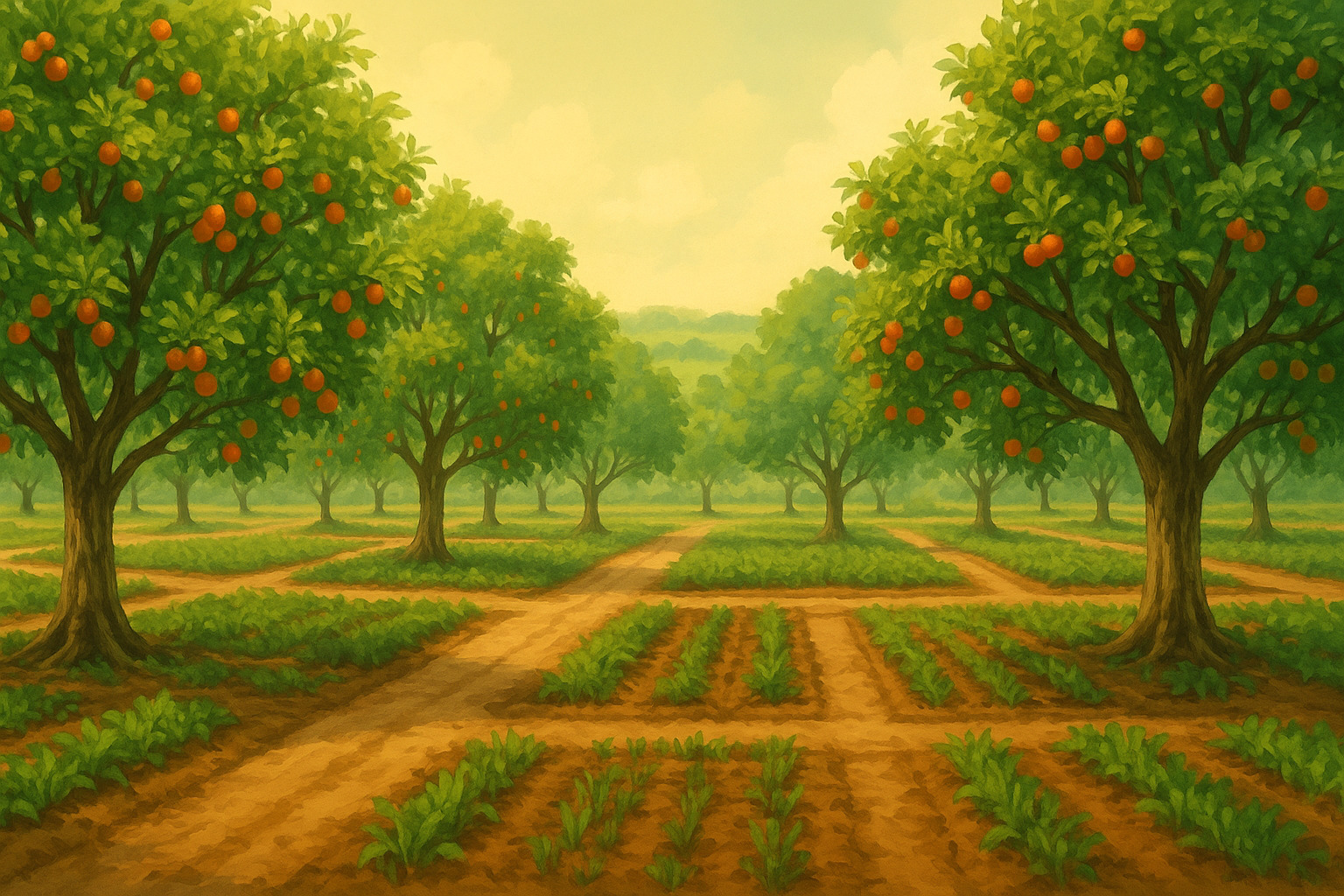
Tree crops require timely care that aligns with natural growth cycles. Understanding seasonal patterns allows growers to optimize…
Read More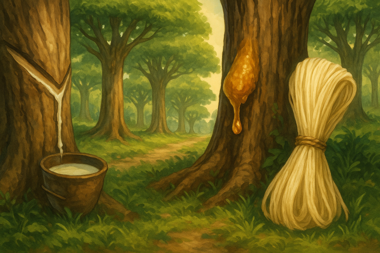
Trees offer more than just wood. Many species provide valuable materials without cutting them down, ensuring the tree…
Read More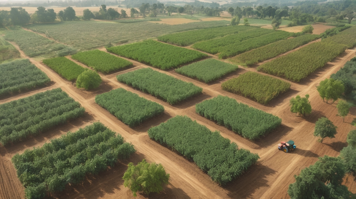
Most people don’t think about what’s happening beneath the soil when they plant trees. But the truth is,…
Read More